Until 1927 the only way you could get to Leaside by automobile was to drive from Yonge St. along Government Rd. (now Merton St. and McRae Dr.), constructed during World War I as a supply route to the Leaside Airfield, or down Pottery Rd. along its dirt trail meandering across the Don Valley from Broadview (formerly known as Don Mills Rd.) to Bayview (known then as the First Concession East of Yonge St.).
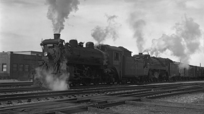
Otherwise you had to take the train. Leaside was isolated by the ravines through which flowed the Don River.
But everything changed in October 1927 with the official opening of what most of us call the Leaside Bridge. Originally it was known as the Todmorden-Leaside Bridge, but these days the traffic reporters refer to it as the Millwood Bridge.
A 1922 edition of the Toronto Star showed a sketch of a structure that would extend across the Don from Leaside to East York. Under that sketch the story read: “The above viaduct as large as the Bloor Street Bridge and connecting Todmorden and Leaside, may be erected by the Township of York.
“Last night the county engineer, Frank Barber, presented estimates of the cost of such a viaduct to a meeting of Todmorden taxpayers. The cost would be $870,000.
“With approaches, the length of the viaduct would be one mile and 20 feet. The length of the bridge proper, would be 1,400 feet, its height 130 feet, and its width 56 feet.
“Mr. Barber said the building of the viaduct would permit the development of a corner of Toronto’s immediate suburbs 16 miles in extent. It would connect the workingmen of Todmorden with the factories of Leaside, if Leaside was to become a great manufacturing district.”
Guess who was the lobbyist pushing for the construction of the bridge?
Why the York Land Company, of course, the owner of virtually all the land in Leaside at the time.
The bridge received its final approval in 1925 based on the understanding that five governments would share the cost, the province, the County of York, the City of Toronto, the Town of Leaside and the Township of East York.
The bridge was built by the County of York (not the Township of York), designed by Frank Barber and constructed by Roger Miller and Sons. When it opened two years later, the TTC ran double decker buses across to celebrate the occasion.
After the opening, serious home building began in Leaside, much to the delight of the York Land Company. The workingmen of East York and the city came across the bridge to the factories of Leaside’s “great manufacturing district”.
In 1956 Eglinton Ave., which until then had dead ended at Brentcliffe, was extended to Don Mills Rd., opening Leaside up to commuters from North York and Scarborough.
Today, as our present day through traffic continues to increase, the Leaside Bridge and the Eglinton Extension seem to be a mixed blessing. But what would we do without them?
And by the way, what ever happened to our “great manufacturing district”?


