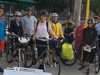

As many cyclists can attest, when you tell people you ride in the city, their eyes widen in disbelief. “Are you crazy?” they ask. I’m not crazy, but I am cautious and plan routes to minimize interaction with vehicle traffic. The fact is there is great, safe cycling right here on our doorstep in Leaside. Here are a few of my favourite rides:

Family friendly
If you ride with young ones, Mount Pleasant Cemetery is for you. Largely vehicle free and with few hills, it’s ideal for a family ride. The east section runs about 2.5 km in a single loop. The tunnel at the north end, under Mount Pleasant Road, connects you to the west section and ultimately Yonge Street, expanding your ride to a total of about 4 km. To put in even more distance, hop on the Kay Gardiner Beltline Trail (entrance northwest of the tunnel). Shady and quiet, this trail extends all the way to the Allen Expressway.
Country in the city
From Leaside, we have access to some of the best recreational real estate through Toronto’s system of trails. Keep in mind that entrances to these trails can be steep. Mud Creek, south off Moore Avenue, is a wide dirt trail and earns its name after any rainstorm. It’s downhill most of the way to Evergreen Brickworks, so have a break, take in the scenery and get a snack – you’ll need it for the mostly uphill ride home. The Don Trail system offers paved multi-use trails following the Don River. Enter off Sutherland (north end) or Broadway (east end). You can head south on the Lower Don Trail, connect to the Taylor Creek Trail going east, or go north through Sunnybrook Park to Edwards Gardens. A great route, almost entirely on paved trails or cycle tracks, is to ride south on the Lower Don Trail, east on the Lakeshore Blvd. cycle tracks to Leslie and south on separated bike lanes to Tommy Thompson Park (also known as the Leslie Street spit). Once you are on the spit, you could be riding on a country road! You may see lots of birds and wildlife – beavers, weasels, rabbits and, of course, raccoons.
Beach bound
Follow the route for Tommy Thompson Park, taking the waterfront trail east from Leslie to Kew Beach. For Cherry Beach, head west on the waterfront trail connection in Thompson Park (west side by the visitor centre). Reach Sugar Beach and the Island Ferries on the trail heading west from Cherry Street.
The downtown grid of separated bike lanes can deliver you to great cultural destinations and neighbourhoods to explore. Use the online Toronto Cycling Map to plot your way, selecting safe cycling options such as cycle tracks, bike lanes and trails from the menu.
Holly Reid is a recreational road rider and cycling commuter who has lived and worked in Leaside for 30 years. She writes “Ask a Cyclist” for Cycle Toronto (cycleto.ca).